


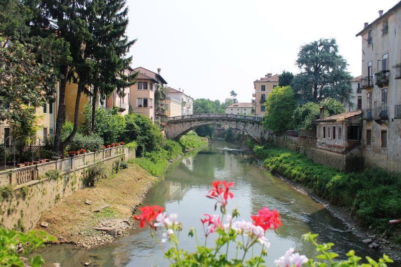
THE CITY AND THE RIVER
Circular route: 45.58 km
Total ascent: 208 m
Total descent: 208 m
Altitude difference: 34 m
(Altitude from: 18 m to 52 m)
The Bacchiglione river has always been Vicenza's most important link to Padua and the Adriatic sea. To follow its waters slowly flowing from the historic centre to the countryside means to discover the centuries-old relationship between man and river, a source of wealth but also a fearsome threat. Hydraulic engineering achievements such as sluices, irrigation channels, embankments and canals accompany cycle-tourists in a rural world made of land and water.

 nfo
nfo


