
HIGH VALLEY OF CHIAMPO
Circular route: 20.65 km
Total ascent: 831 m
Total descent: 830 m
Altitude difference: 668 m
(Altitude from: 372 m to 1040 m)
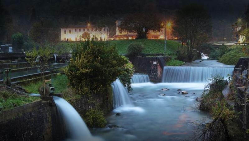
Itinerary that takes place in a pedmont/mountainous environment, surrounded by the woods at the foot of the 'Small Dolomites'. In the first part you go along an asphalted road with little traffic that leads to the higher districts of the Chiampo Valley and, after reaching the top, it continues straight into the woods, with enchanting sceneries near evocative waterfalls. In some parts the ground is challenging, but very satisfying. Along the way you will come across fountains and equipped areas for a relaxing break in a quiet and peaceful environment. The final stretch is once again on asphalt, with a descent that requires a fair amount of stamina and the ability to cycle downhill on rocky terrain.

 nfo
nfo