


THE WAY OF CHERRIES
Circular route: 80.14 km
Total ascent: 1956 m
Total descent: 1957 m
Altitude difference: 1173 m
(Altitude from: 101 m to 1274 m)
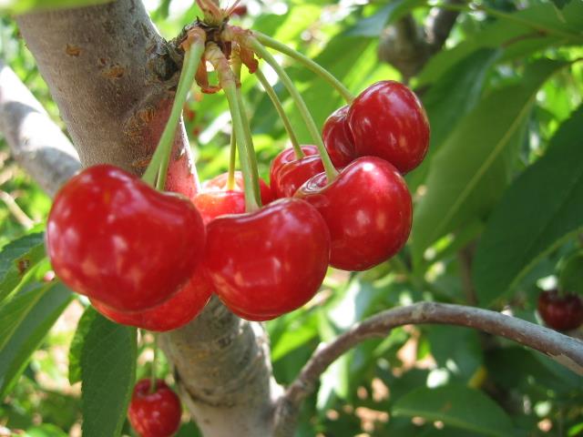
Cycle along the foothill route towards the first mountains of the Asiago Plateau. From the walls of the Castle of Marostica, the road continues through gentle hills, adorned with cherry trees, to reach Monte Corno, from where you can enjoy a breathtaking view of the plain of Vicenza. A challenging but multifaceted route that will allow you to admire beautiful mountain landscapes, small districts filled with ancient flavours, the areas where the Great War took place as well as the ever-present spectacle of nature, that gradually changes as the altitude rises.

 nfo
nfo


